Would you like to make this site your homepage? It's fast and easy...
Yes, Please make this my home page!
COSMIC AREA 51
PLEASE REMEMBER BEFORE VIEWING THESE
PICTURES..
THE US GOVERNMENT
STATE THAT THIS BASE DOES NOT EXIST!
AREA 51 THROUGH THE AGES
New Imagery of Area 51 was
released on 17 April 2000. The Aerial Images were acquired by Russia's Space
Information KVR-1000 satellite system. We have reproduced them here
so
you
can compare how this site has enlarged over the past few
years.
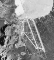
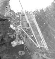
New RunwayOne of the most obvious changes from
1968 to 1998 is the construction of a new 11,960 foot runway replacing the older
12,400 foot runway 32 Left to the west. Runway 32 Right. The Southern end of
Runway 32R is blackened with about twice the tire skid marks than at the north
end of the runway suggesting that the prevailing winds are from the north
throughout most of the year. It is not clear how far on to the dry lake the
Runway 32 Right overrun extends. At the south end of 32R there are six final
flight check spaces on the runway apron. At each end of the runway there is a
runway barrier net and arresting cable
|
28 August 1968 - USGS Aerial
imagery |
15 March 1998 - SPIN-2
2-meter |
02 April 2000 - IKONOS
1-meter |

|
|
 |
North
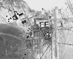
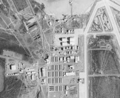
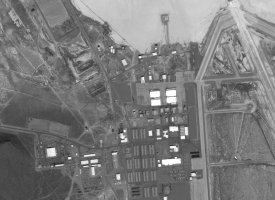
BaseThe four large hangars at the north of the base, present in the
1968 image, have evidently been enlarged by the time of the 1998 image. In
addition, the housing complex for base personnel -- the large array of smaller
buildings to the south of the hangars, has been entirely rebuilt between 1968
and 1998, with the additional of new support facilities. A B-52 aircraft is
visible in the 1968 image. No aircraft are visible in the 1998 image or the 2000
scene.
|
28 August 1968 - USGS Aerial
imagery |
15 March 1998 - SPIN-2
2-meter |
02 April 2000 - IKONOS
1-meter |
|
 |
 |
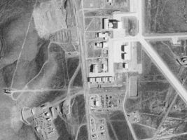
South Base
HangarsPerhaps the most significant expansion in operational capabilities
is noted in the southern part of the base. The half dozen hangars present in the
1968 image are all evident in the 1998 image, but the total number of hangars in
this area has doubled during the intervening three decades. The most noteworthy
addition is the hangar with the high peaked roof visible in the top of the 1998
image.
|
28 August 1968 - USGS Aerial
imagery |
15 March 1998 - SPIN-2
2-meter |
02 April 2000 - IKONOS
1-meter |
 |
 |
 |
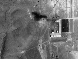
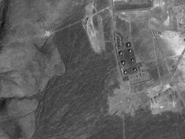
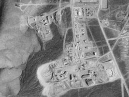
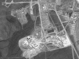
Tank Farm - South
BaseThe tank farm visible in the 1968 image, consisting of seven large
storage tanks and three smaller tanks, remains visible in the 1998 image. The
wide separation of the larger tanks is suggestive of fuel for aircraft. The 1988
imagery shows a large asphalt plant, that was used to construct the new 11,960
foot runway.
|
28 August 1968 - USGS Aerial
imagery |
15 March 1998 - SPIN-2
2-meter |
02 April 2000 - IKONOS
1-meter |
|
 |
 |
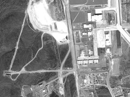
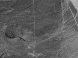
New Construction - South
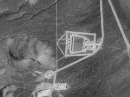
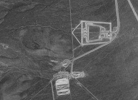
BaseIkonos imagery has revealed that this 32 acre facility is a small
weapons storage area with three small igloos and two larger
igloos.
|
28 August 1968 - USGS Aerial
imagery |
15 March 1998 - SPIN-2
2-meter |
02 April 2000 - IKONOS
1-meter |
 |
 |
 |
We acknowledge
FAS for acquiring the above images

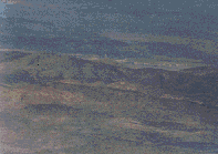
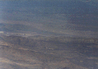
As you can see, the base is absolutely
HUGE. It takes 3 wide
angle photos to get the whole base on
film.
 |
|
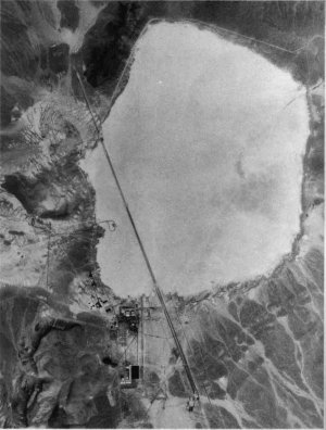
| This is a picture
which was taken by a Russian satellite... The first picture of the WHOLE
base.. Above ground anyway. |
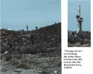
Strange
device that overlooks the point where Groom Lake Rd crosses into the
Restricted
area |
 |
 |
|
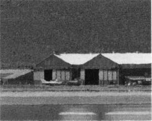
Close up of
Hanger at Area 51 |
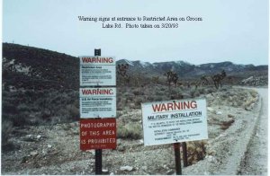
Warning signs
that greet you on
the road to Area
51 |
|
|
| Picture of Area 51's
Runway... Its the longest in the world, approximately 6 Km
long! |
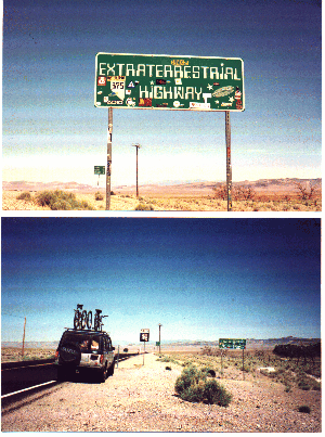
Pictures
of the ET Highway which passes through Rachel,
Nevada
(Thanks to Tom
Zito) |


